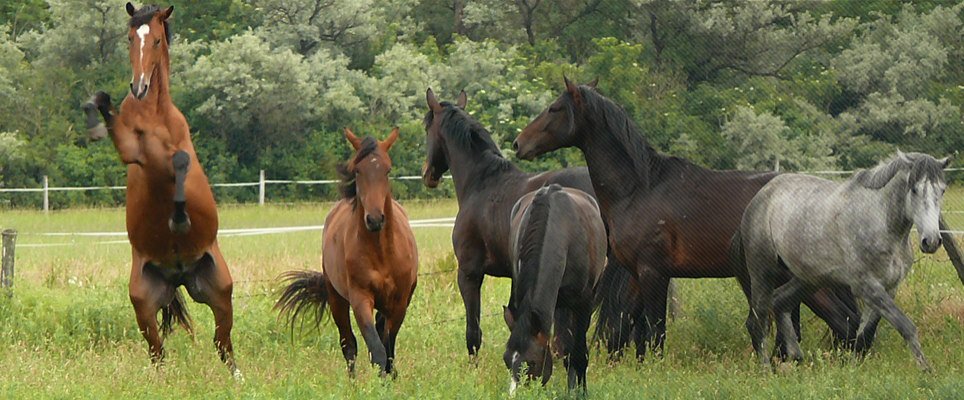
Presentation of the Kéktó parkland steppe
Impoundment of geographical situation
The model area belongs to the agglomeration of Hódmezővásárhely. Much of the analised farming whole is located in this land. The town is located in south-eastern Hungary, in Csongrád county, about 25 kilometres far from Szeged. It is a medium-sized town with approximately 48-53 thousand residents.
The subregio of Hódmezővásárhely consists of Hódmezővásárhely – city with county rights, Mindszent – town, Mártély – civil parish and Székkutas civil parish, which subregio is located along the Tisza river. The ground of subregio of Hódmezővásárhely is 70 783 acres.
 Location of the area in the subregional system.
| Terület | Lakónépesség | Népsűrűség | |||
| (ha) | A kist. összter. %-ban |
(fő) | A kist.össznép. %-ban |
Fő/km2 | |
| Hmvhely | 48 322 | 68,27 | 48 605 | 81,03 | 100,58 |
| Mártély | 4 121 | 5,82 | 1 338 | 2,23 | 32,47 |
| Mindszent | 5 940 | 8,39 | 7 406 | 12,35 | 124,66 |
| Székkutas | 12 398 | 17,52 | 2 634 | 4,39 | 21,25 |
| Kistérség | 70 783 | 100,00 | 59 983 | 100,00 | 84,74 |
Hódmezővásárhelyi kistérség területe, népessége, népsűrűsége
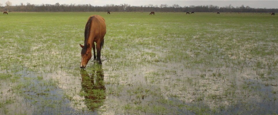
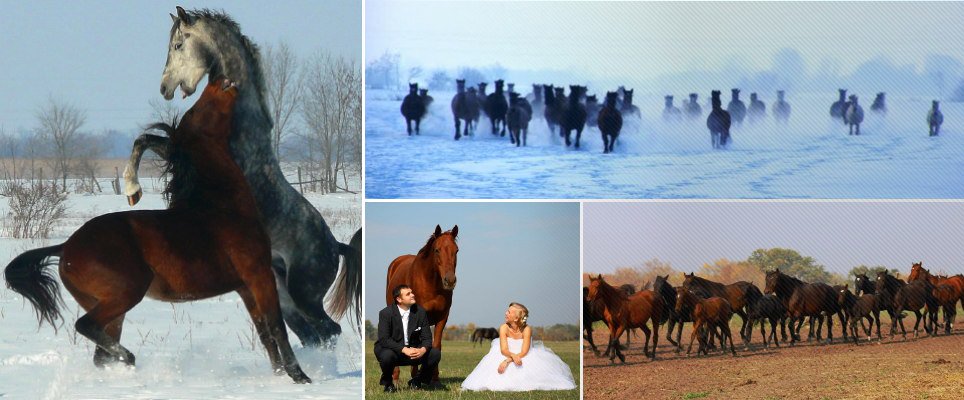
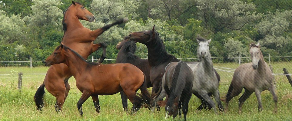
Agricultural production is tipical of Hódmezővásárhely and its surrounding. Both stock-raising and crop production are well functioning sectors.
Kéktó parkland steppe is located about 10 kilometres far from town and is approachable on the so-called Rárósi road, which is located between the road No. 47 to Orosháza and the road egress to Szentes. It is bound by the oak-plantation of Ördöngös, Derekegyház and Tompahát in the north side, opened plough-lands in the east side, Rárósi road in the south side and plough-lands with forest belts in the west side.
Natural habitats of the area are well dissevered from plough-lands that are being used for intensive production by man. The area – which is about 7-800 acres – is made up of parkland steppe 70-80 perc cent and plough-lands surrounding it. These plough-lands have an effect on natural habitats – for instance wild animals willingly visit cornfields both in verdant stage and in setting stage as well. The microclimate of this area is significantly defined by its ash-plantation forest belts, olive willow plantation, oak-woods and miscellaneous woods. Accordingly areas rimmed by woods have far more humid air than clean and open-air surfaces – such as wide plough-lands – do.
 Satellite snapshot of the area. Situation of Kéktó steppe.
 Satellite snapshot of the area. Impoundment of Kéktó steppe.